 Maps, Location, Origins and the Farms of Levenshulme.
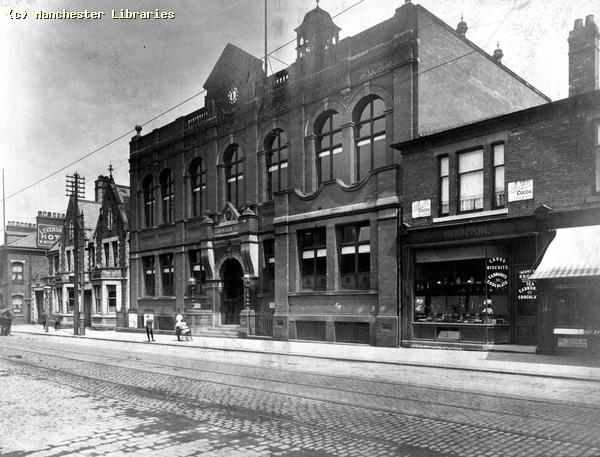
Levenshulme is located roughly in the centre of what is now Greater Manchester. When I lived in Levenshulme, it was on the south east boundary of the City of Manchester. Levenshulme was bordered by Longsight to the North, Gorton to the North & East, Reddish to the East, Heaton Chapel, Stockport, to the South, Burnage to the South & West & Rusholme to the West. Levenshulme had a Town Hall, and originally was an Urban District with its own Council, Councilors & presumably a Mayor! Levenshulme Town Hall and Council Offices
Levenshulme Town Hall early 2oth Century.
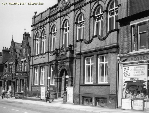
Levenshulme Council Offices in 1959.
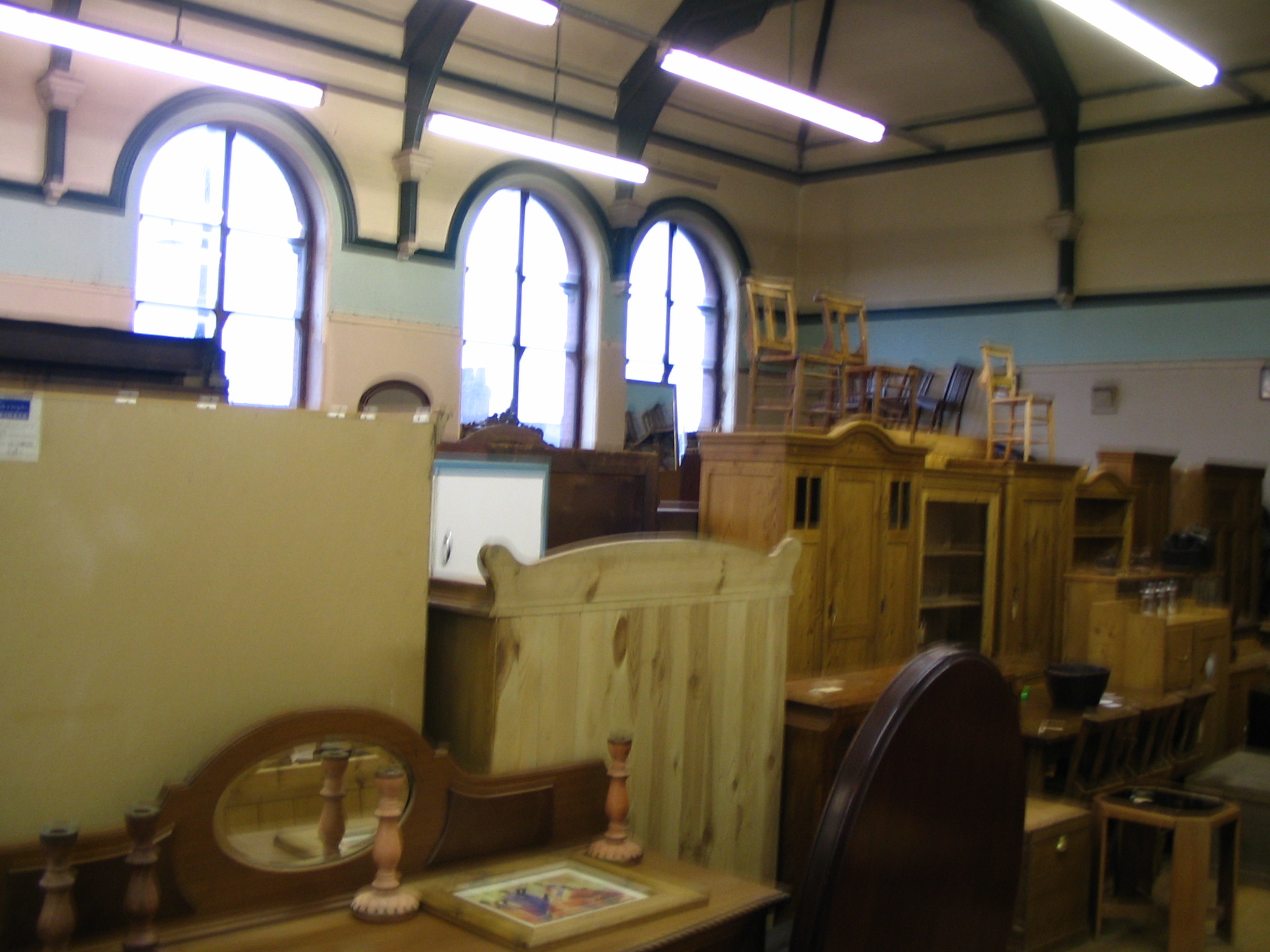
By 1985, Cleaned up and in use as an Antiques Market
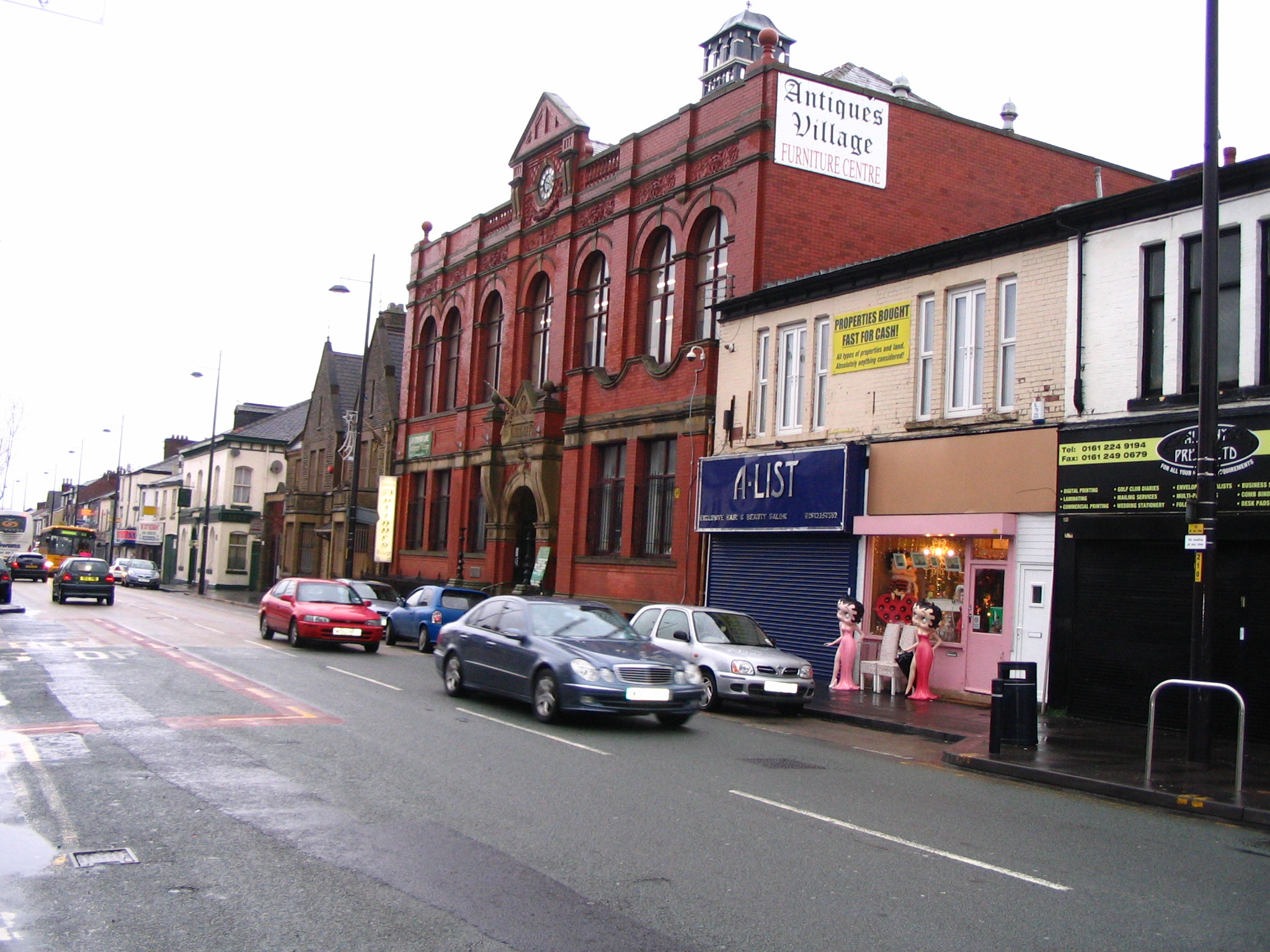
December 2007 still in use as an Antiques Market. Note the "funky" Betty Boop shop!!
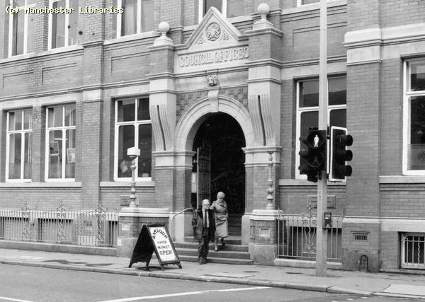
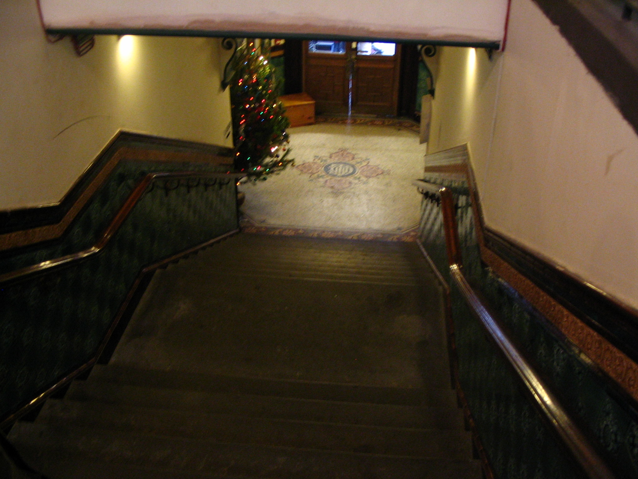
Two interior photos of the Town Hall interior December 2007. 1) The upstairs main hall. 2) The grand central staircase with the Levenshulme Urban District Council crest inlaid in the floor.
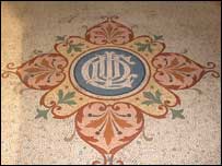
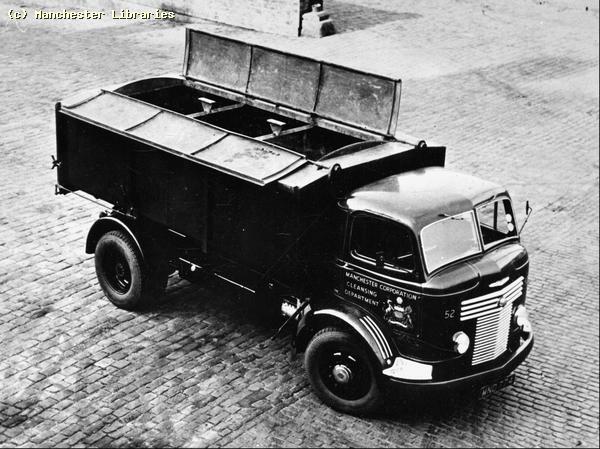
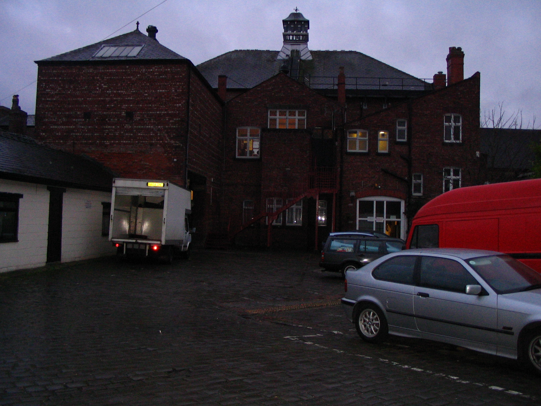
Crest Detail in the entrance hallway to the Council Offices. LUDC Levenshulme Urban District Council. At the back of the Council Offices was a large cobbled yard area. This was used in the 1950s as a garage for refuse disposal trucks.
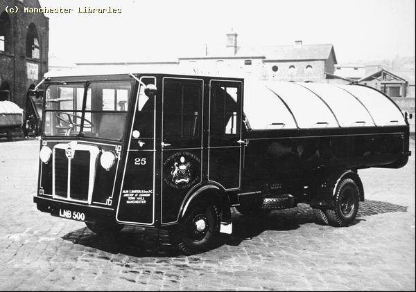
Typical refuse trucks of the 1950s. Note their neat appearance compared to today's "Garbage Trucks" These vehicles were lined out and had the city crest prominently displayed on the doors. ( Manchester Libraries)
The yard at the rear of the Council Offices. December 2007
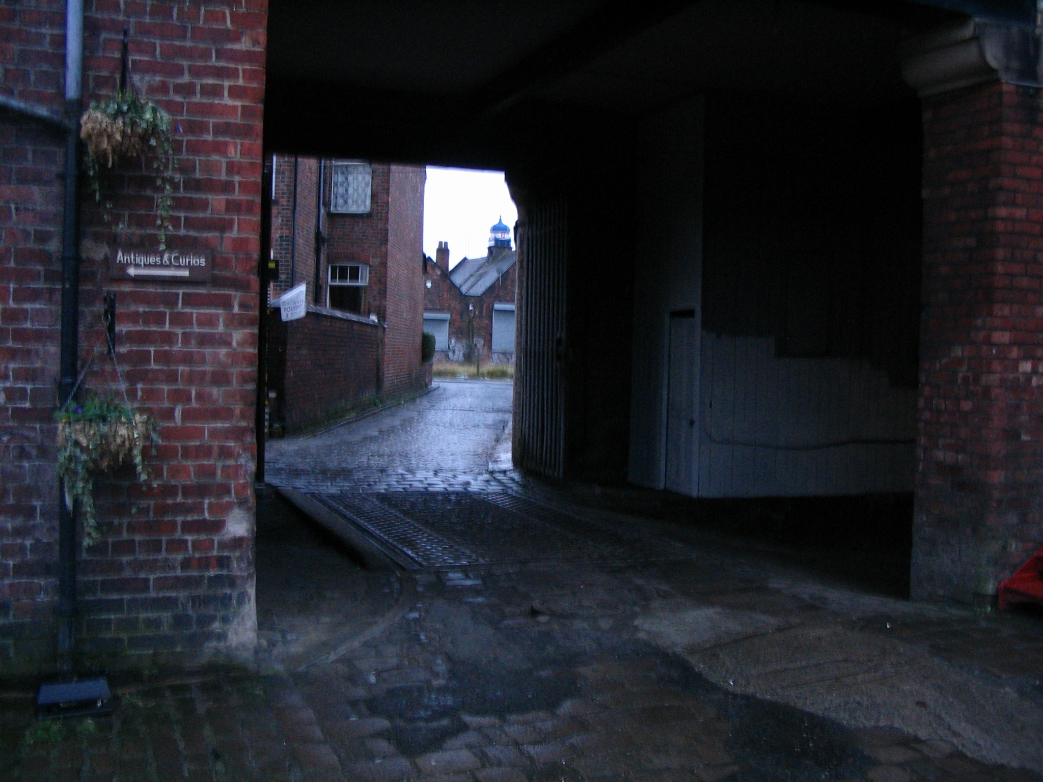
Entrance to the Council Yard.December 2007 Note South Levenshulme Station through the arch, and the weighbridge still in situ!!
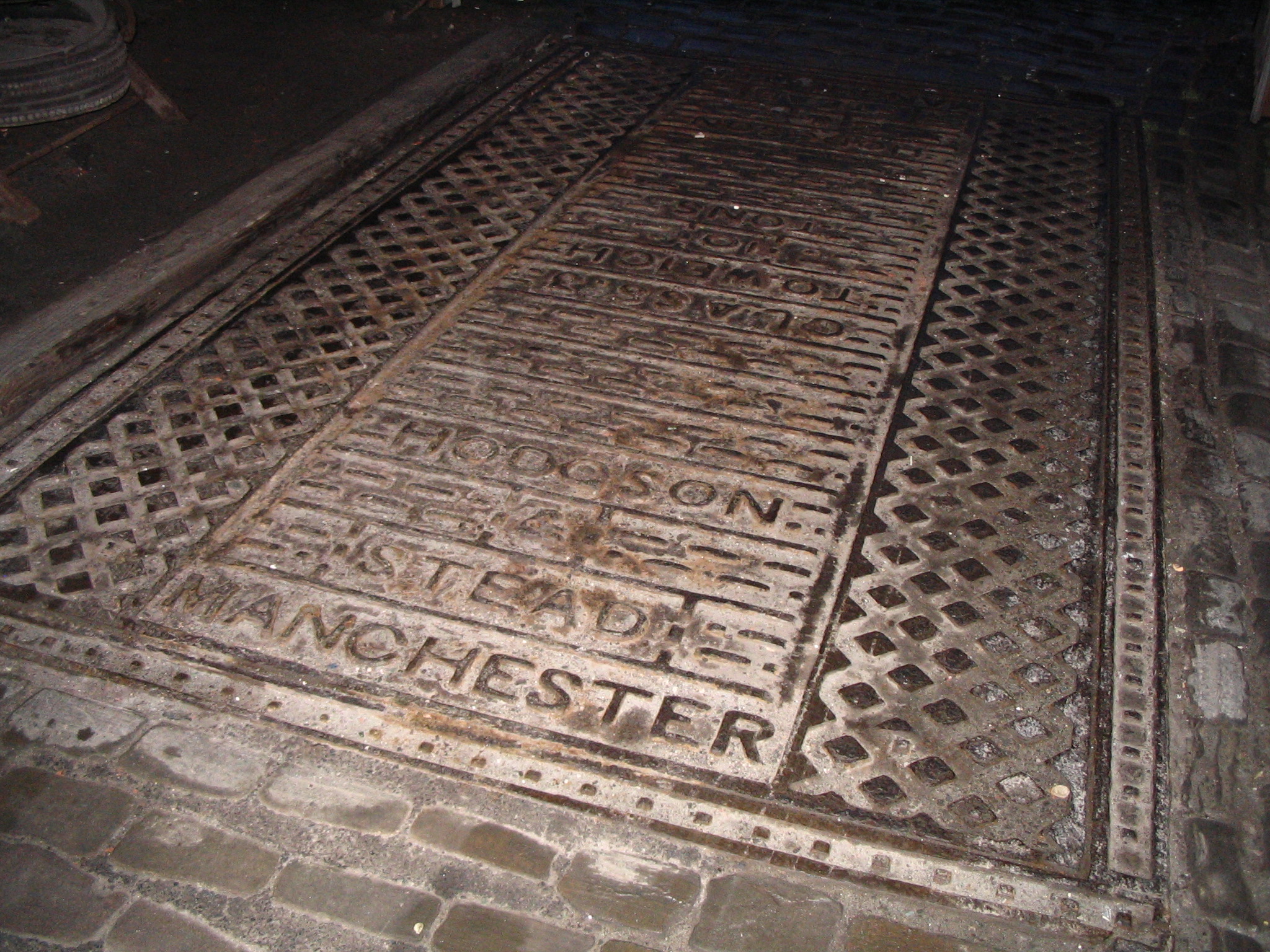
A close -up view of the cast-iron weighbridge at the entrance to the Council Yard. December 2007 The manufacturers name appears to be "Hoodson & Stead Manchester" and the scale is a Class 3 Weighbridge. |
||
|
|
Levenshulme Origins Under this heading I will try to illustrate the early origins of Levenshulme, and its transition from a farming community to a suburb of Manchester. Farms and early Levenshulme Until the advent of the railway in the second half of the 19th Century, Levenshulme was a fairly isolated farming community. Its location on the main highway to the south, the current A6/Stockport Road would ensure its future development and prosperity. This highway had existed since at least the Roman occupation of Britain. There is some evidence to support the theory that there was a small Roman garrison just South of Levenshulme in the vicinity of Peel Moat in Heaton Chapel. History also records that Levenshulme saw Oliver Cromwell's Parliamentarian Army pass through, and also Bonnie Prince Charlie heading south. Levenshulmes farming past is still in evidence with names such as Farmside Place and Farmyard on Stockport Road. More tangible proof can still be found around Mount Road and East Levenshulme where some old farm buildings still exist to this day!
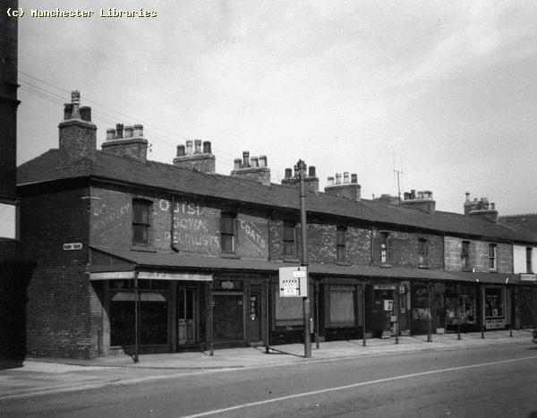
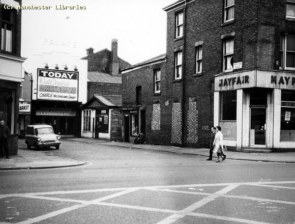
The little entry at the side of the Verandah on Stockport Road is named Farm Yard. Photo from 1959. I remember a very smelly public convenience situated on this street. Also I believe that the end two shop units were once a waiting room for the trams.( Photo via Manchester Libraries) Update:- A correspondent, Mike Berrell, has written to tell me that the flagstones under the verandah were salvaged from the Belle Vue Goal when it was demolished at the end of the 19th century. See photos below.
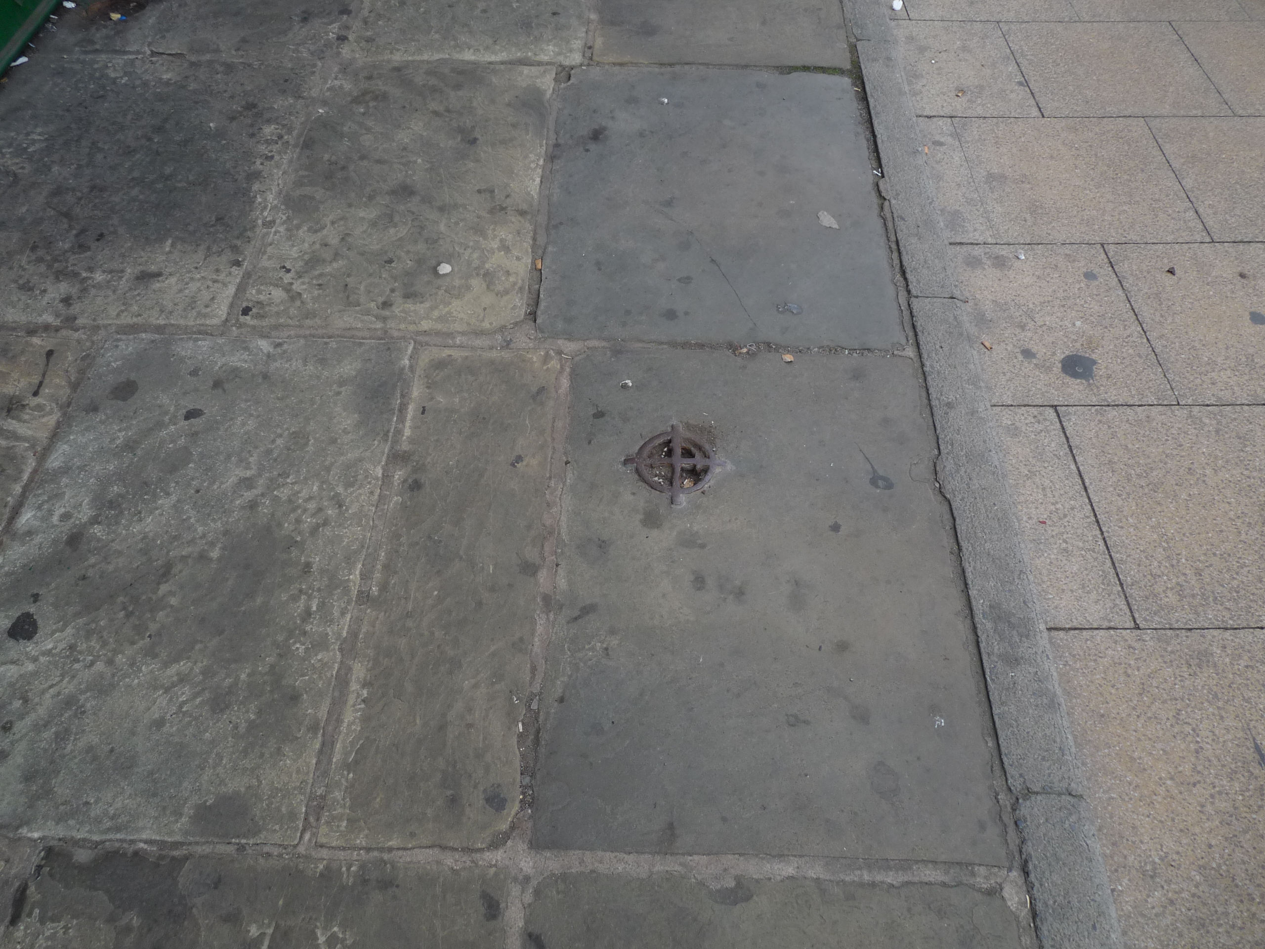
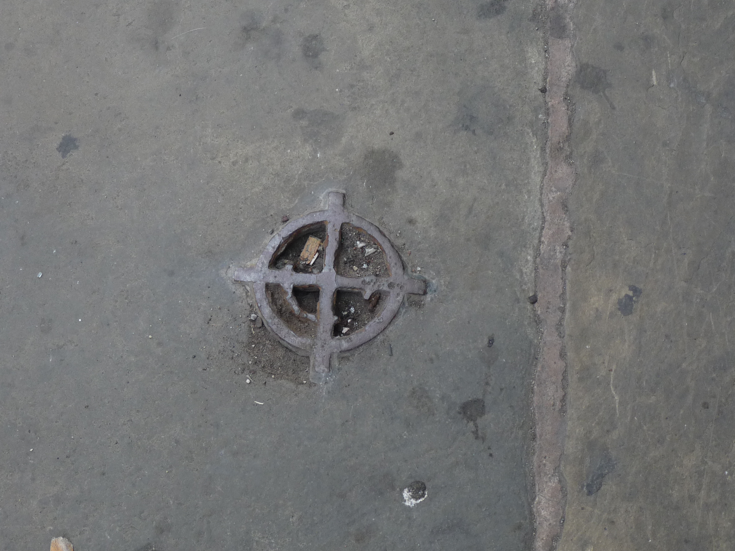
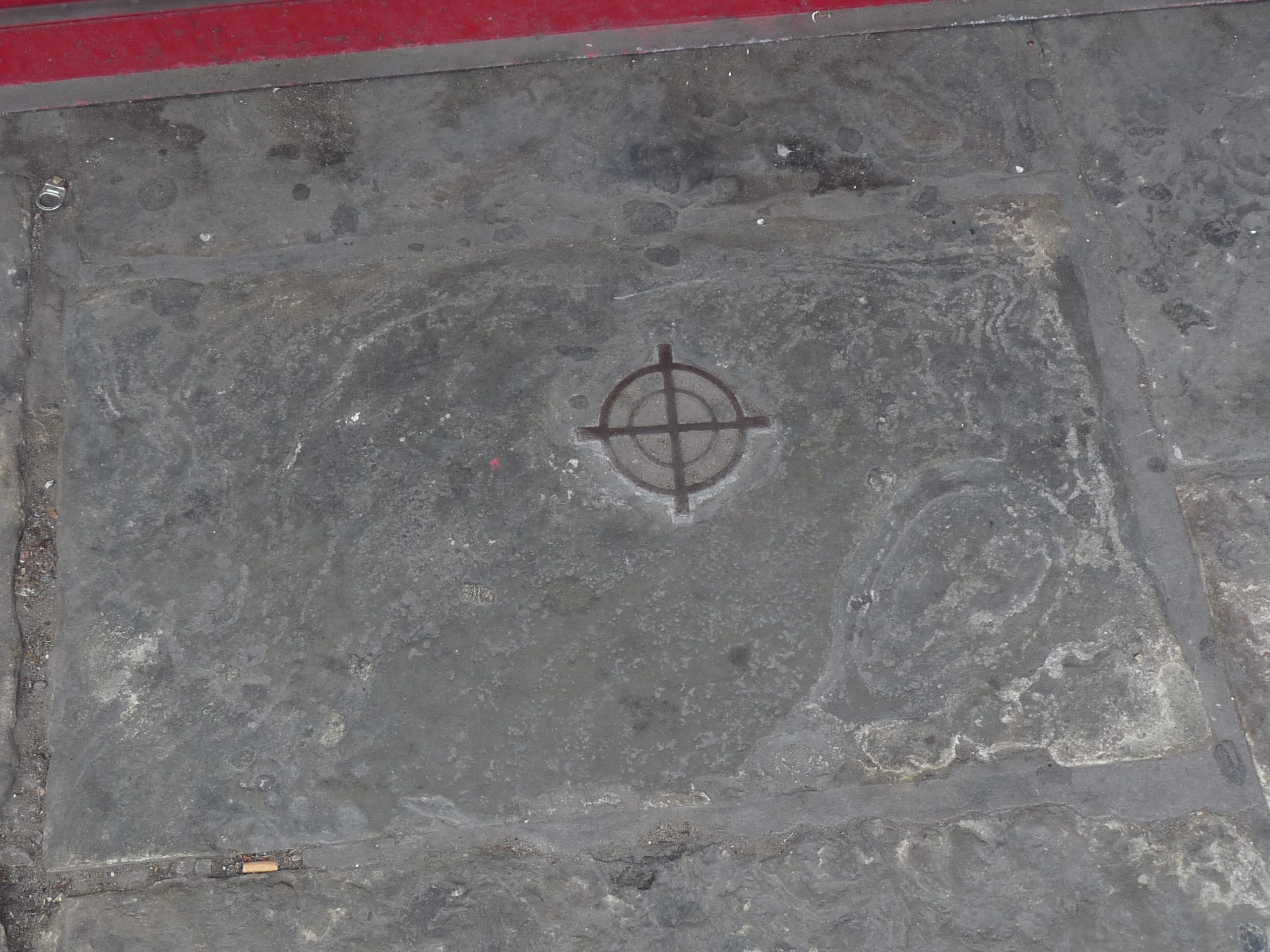
The above photos of the flagstones on the Verandah all show cast-iron gratings set into the stones. They are very small as can be determined by the cigarette "dimp" and pop can pull tab!! What would have been their purpose? (Photos via Mike Berrell)
The Verandah, December 2007. This very unique structure looks in a good state of preservation. When was it built?
Farmside Place in the 1970s. See the Cinema pages for more up to date views. ( Via Manchester Libraries) The Farms Of Old Levenshulme
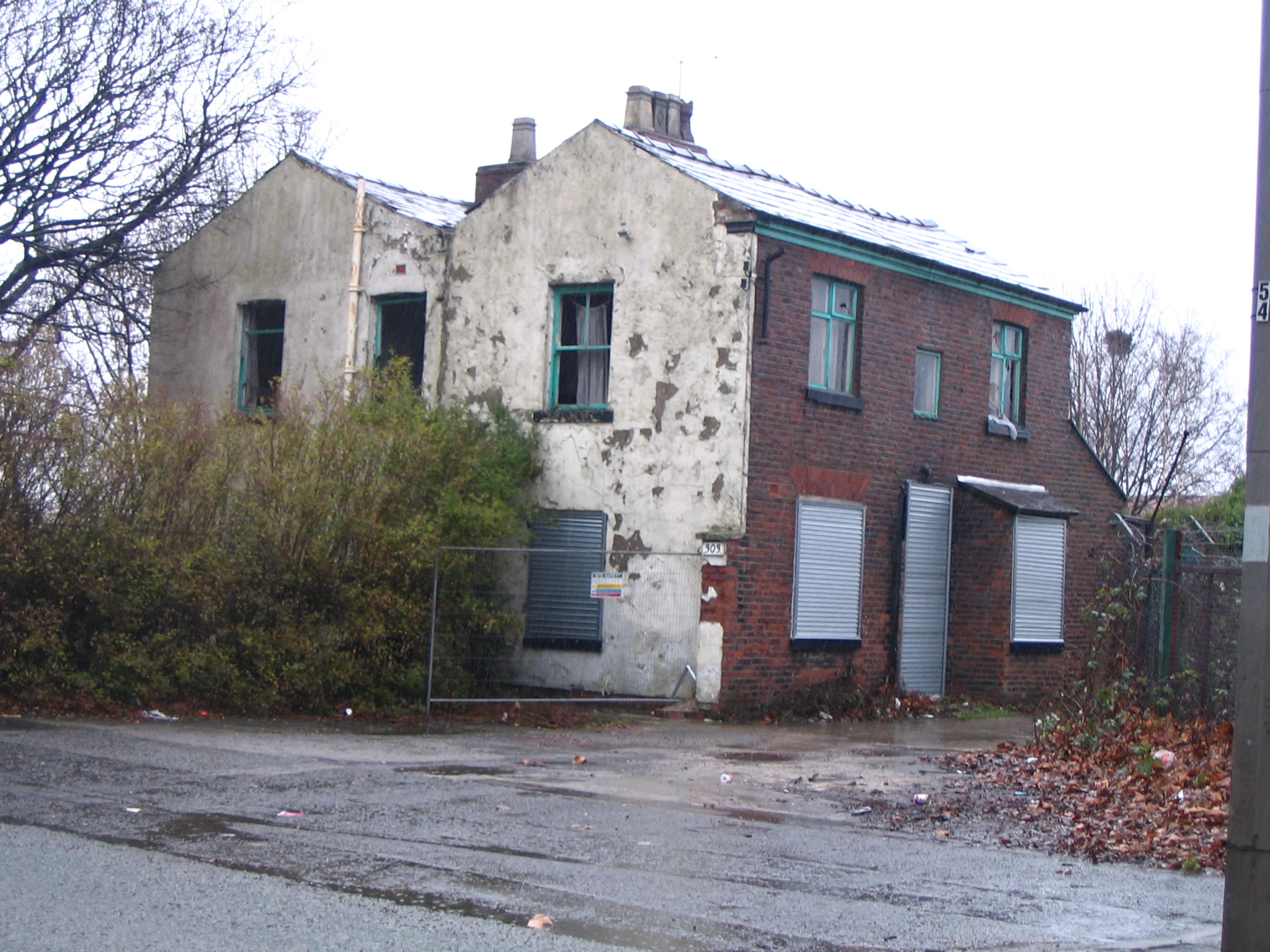
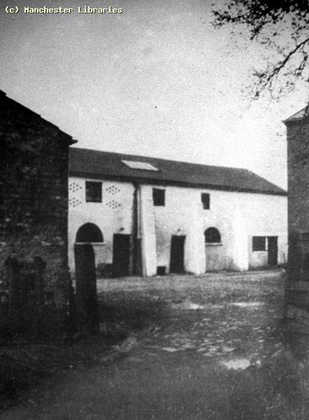
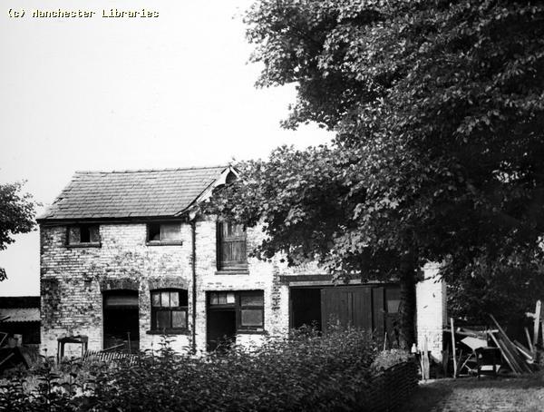
Old farm buildings on Mount Road, Levenshulme, December 2007. Update: I have recently been informed that this building has now been demolished. Yet another link with the past gone forever!! May 04 2008.
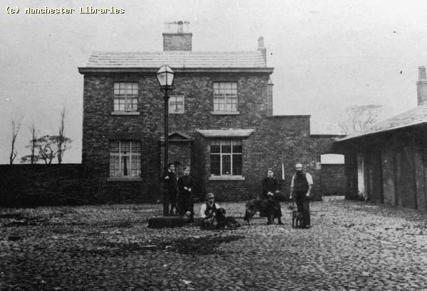
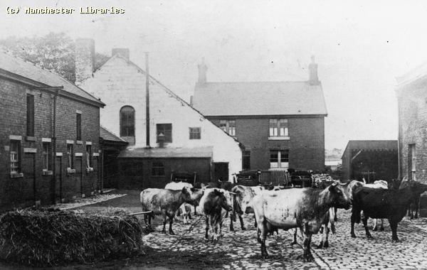
This looks like the same building during the late 19th Century. Note the windows, doorways Etc.
This could be the same farm, or a close neighbour. The photo states that this is Mount Farm. Other Levenshulme Farms
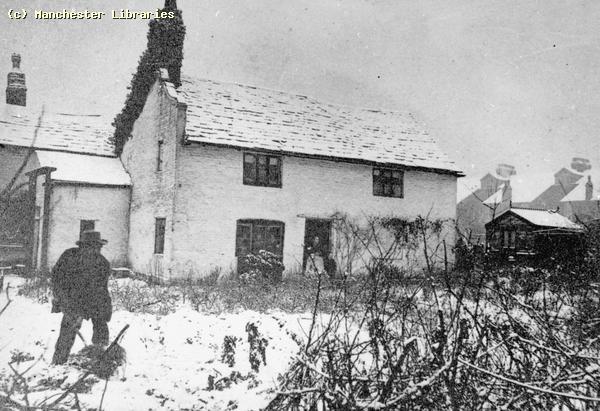
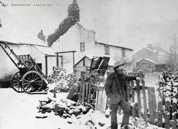
Church Farm, Stockport Road. Late 19th Century photos. Looking very rustic and wintery.
Nelstrop Farm, Nelstrop Road. An early photo and a later 1960s view. Note Levenshulmes only "high rise" in the background. Does this building still exist?
I am not sure where this farm is. Could this be Nelstrop also? Answers please!! Photo looks to be 1960s.
Highfield Farm, off Highfield Road, 1890s. This farm is shown on the map below!
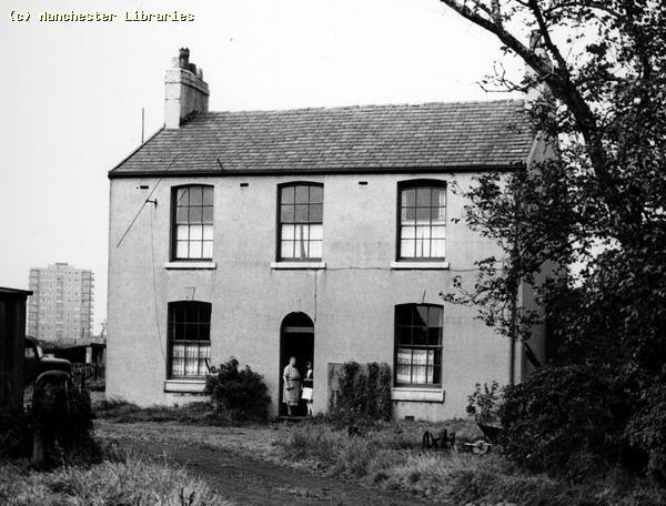
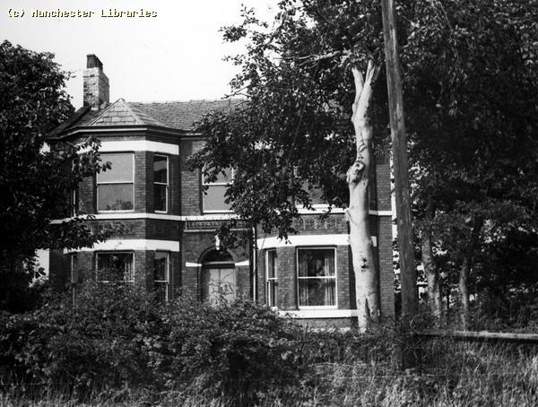
Highfield Hall, Nelstrop Road, Levenshulme 1965 (Manchester Libraries)
Highfield House, Nelstrop Road, Levenshulme 1965. Built 1870. (Manchester Libraries)
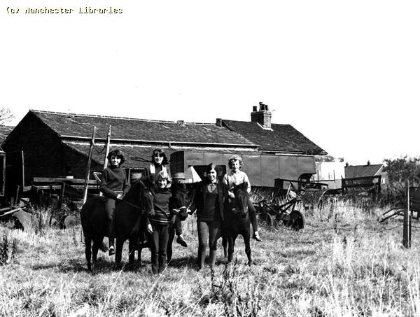
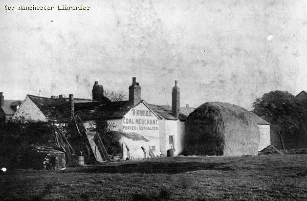
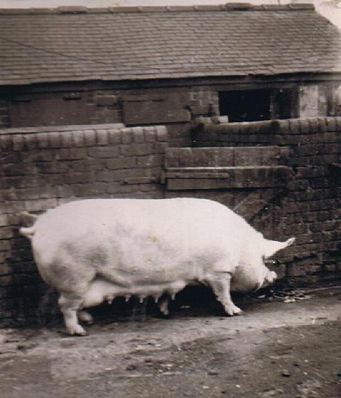
Knibb's Farm. This is supposed to be in Levenshulme. Knibb's was more than just a farmer!! Can anyone identify the location? Update:- A 1901 directory shows 222 Barlow Road (late Adlands Lane). Thomas Knibbs, Ashphalter. The Pig Farms of Levenshulme. 1920s to 1970s. I have recently made the aquaintance of John Rigby, whose father and grandfather operated a pig farm in Levenshulme from the 1930s to the 1970s. The farm, operating as W. Rigby & Son, was located alongside the railway line just over the iron bridge opposite the UCP factory and overlooking the "Brickie" and Jacksons Brick works. There were also several other smaller pig farming operations in the same area around Highfield Road. I also remember several small holdings off Sandold Lane, near the reservoirs. One of my friends grandad's, Mr Barrow, had a small pig farm in that area. John has kindly allowed me to use several photos of the farms from the 50s & 60s. He has also given me a great deal of information on the history of pig farming in Levenshulme.
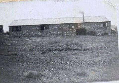
The first photo taken in 1949, shows a pig, named Betsy, who was a a pig left over from the war years when pig farming was an essential part of the British economy. The wartime Ministry Of Food encouraged pig clubs to be set up. Half of the reared pigs went to the Ministry, the other half to the clubs. The second photo was taken from the path by the railway around 1950. It shows one of the pig barns. The chimney was from a coal burning boiler which was used to cook the pig swill!
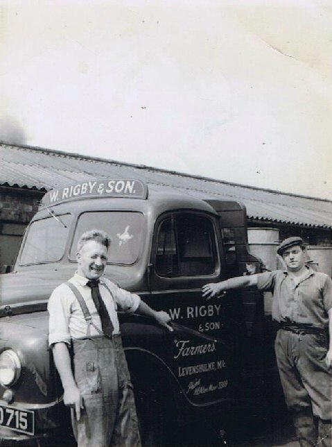
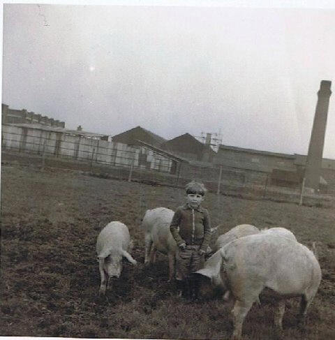
The year is 1954 and Johns father Winston Rigby, and friend and pig farmer Jimmy Pollet stand by a new Austin truck used to haul pig swill and scraps from local businesses. The second photo is looking north across the railway to the UCP tripe works and a scaffolding company. Chris Rigby is the boy with the pigs!
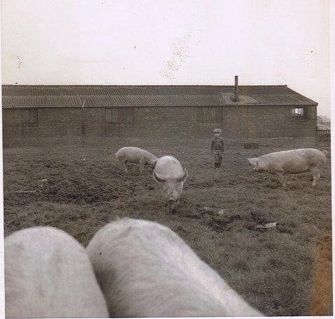
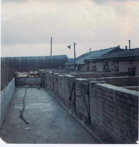
Chris Rigby with the pigs, and in the background the earlier pig barn now with glass in the windows. The second photo shows the last pig pens erected on the site in the 1970s.
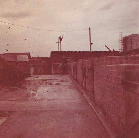
Views of the pig pens/sty's looking north across the railway. Note the flats off Highfield Road being built in the mid 60s.
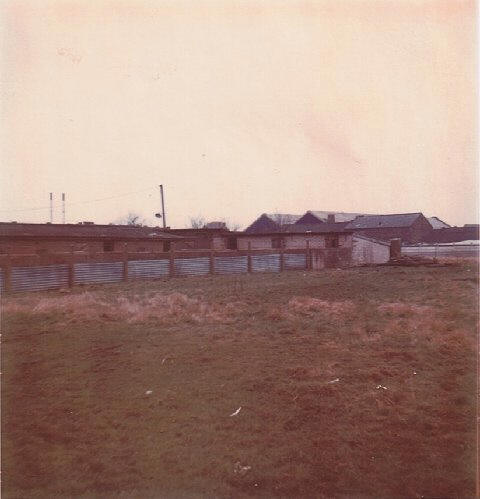
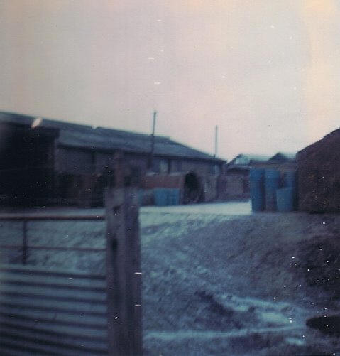
Another view of the farm from the main gate. The second photo, taken in 1969, shows Penny's smallholding on the right and Turners on the left. This view looking across the brook where effluent pipes carried the slurry (pig muck!!) into the stream. These photos evoke so many memories from my childhood. The pigs, the smell and the rural nature of the area. The farms were operated until 1977 when public opinion and environmental issues caused the operations to cease. John tells me that several fences and other pointers to the areas former use can still be detected in the area which is now part of the Highfield Country Park. Levenshulme Maps
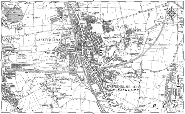
The above map shows the area of Levenshulme in 1890.
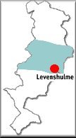
The Small map below shows the location of Levenshulme in the current Greater Manchester. The blue area roughly outlines the old City of Manchester.
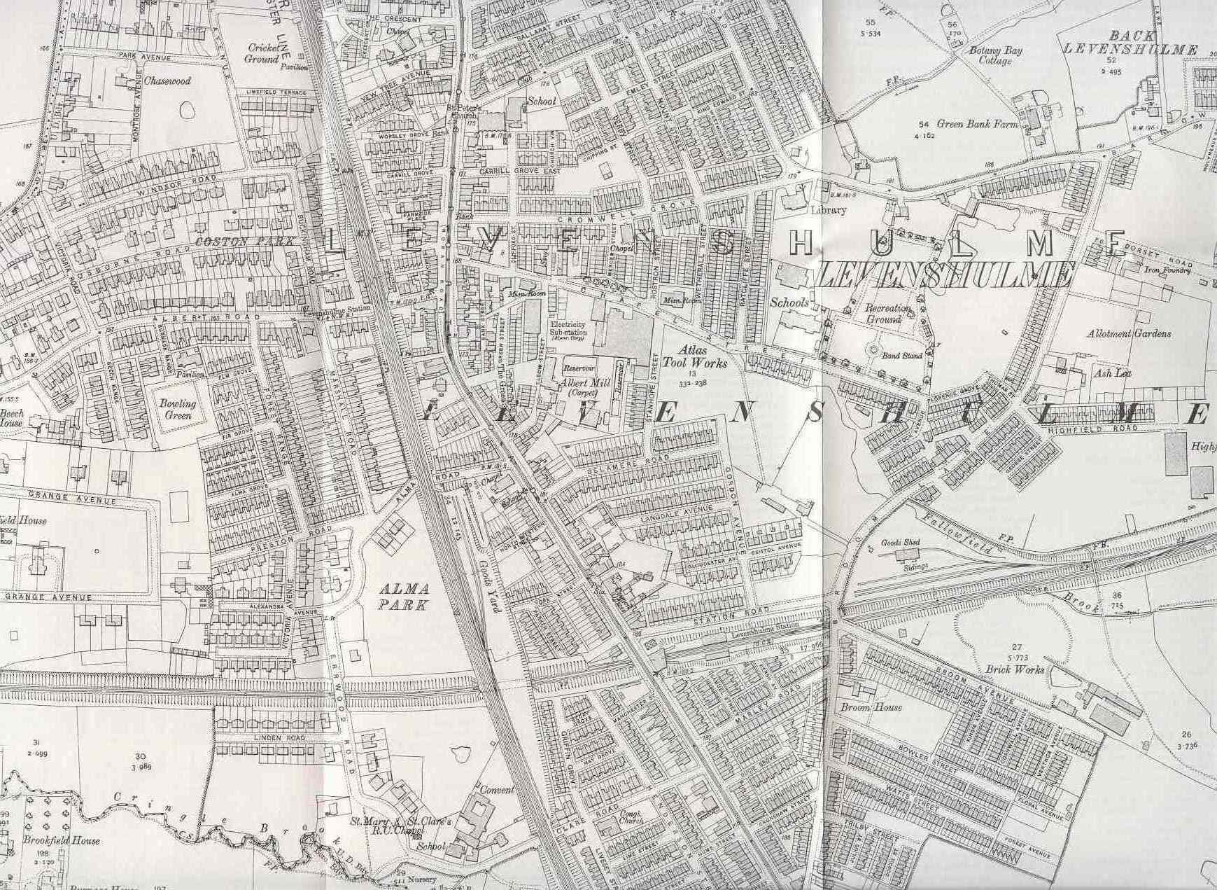
The Map below is taken from an old Ordnance Survey Map ,Lancashire 111.04.and shows the centre of Levenshulme as it appeared in 1905. Surprisingly most of what I remember already existed in 1905! My house at 14 Station Road is there, as is my wife's parents house in Lime Street. Both these streets were renamed in the 1950's. the layout of Levenshulme appears much the same in 2003,although certain buildings have come & gone in the intervening 98 years! Does your house appear on this map? |